This week's headlines for Neogen's Monday Mycotoxin & Crop Report for September 4:
- Tropically enhanced storms in the Southwest
- Extreme heat grips the Central Plains
- Severe storms in the Great Lakes
Weather and harvest updates
The USDA’s August 29 bulletin reports the remnants of Hurricane Hillary brought tropically charged storms to the Southwest. Precipitation totals of four to eight inches generated isolated flash floods in some areas as far north as the Northern Rockies.
A large swath of the nation from the Northern Plains to the Gulf Coast experienced higher than average temperatures this week, with parts of the Central Plains seeing readings over 10 degrees above average. Extreme drought conditions persist throughout these regions.
Severe thunderstorms swept across the Great Lakes from Michigan to Pennsylvania with around a dozen tornados reported across the region.
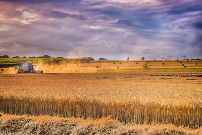
- Winter wheat harvest nears completion.
- 54% of spring wheat acres are harvested, 9 points behind the five-year average. 37% are in good to excellent condition, 31 points behind last year.
- Barley is 61% harvested, 8 points behind the five-year average.
- Oat acres are 82% harvested, 3 points behind the five-year average.
- Corn development is highly variable within some fields.
- 88% of corn is in the dough stage, 2 points above the five-year average. Nationally, 56% of corn is in good to excellent condition, 2 points above last year.
Here are the states with the highest good to excellent ratings, as well as the states with the highest poor to very poor ratings.
Good to excellent: CO, KY, NC, OH, PA, TN
Poor to very poor: IA, KS, MN, MO, NE, ND, SD, TX, WI


